

您正在关注
关注用户错误。
该用户不允许他人关注他们。
您已经关注了这个用户。
您的会员计划仅允许0个关注。升级在此。
成功取消关注
取消关注用户错误
您已成功推荐
推荐用户错误。
出问题了,请刷新页面并重新尝试。
联系Mihai Cosmin C.询问您的工作详情
登录并通过聊天讨论所有细节。
文件夹
文件夹


Sibiu Depression Map

Digitizing

Digitizing

Digitizing


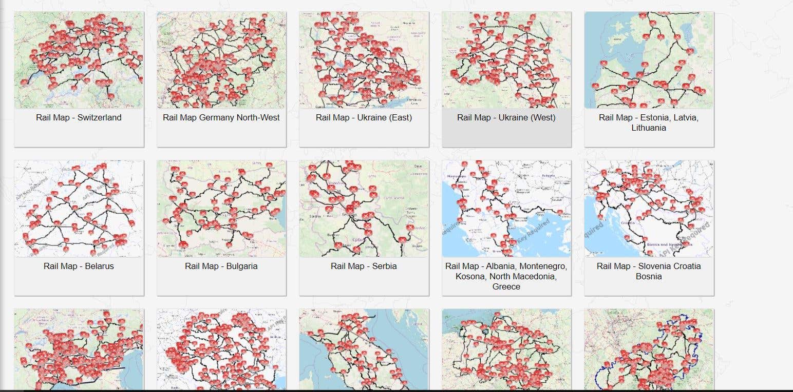
Geomorphometric Maps

Geomorphometric Maps

Geomorphometric Maps

Geomorphometric Maps

Geomorphometric Maps

Geomorphometric Maps

Geomorphometric Maps

Geomorphometric Maps


Maps used in my thesis.

Maps used in my thesis.

Maps used in my thesis.

Maps used in my thesis.


Maps drawn from passion!

Maps drawn from passion!

Maps drawn from passion!

Maps drawn from passion!
Sibiu Depression Map
Digitizing
Digitizing
Digitizing
Geomorphometric Maps
Geomorphometric Maps
Geomorphometric Maps
Geomorphometric Maps
Geomorphometric Maps
Geomorphometric Maps
Geomorphometric Maps
Geomorphometric Maps
Maps used in my thesis.
Maps used in my thesis.
Maps used in my thesis.
Maps used in my thesis.
Maps drawn from passion!
Maps drawn from passion!
Maps drawn from passion!
Maps drawn from passion!
评论
变更已保存
展示5中的1-5条评论
$25.00 USD

•
$17.00 CAD
Cartography & Maps
Geospatial
Geographical Information System (GIS)
Y

•
$10.00 AUD
Research
Facebook Marketing
Web Search
Romanian Translator
Social Media Marketing

•
£231.00 GBP
Data Entry
Cartography & Maps
Google Earth
S

•
$641.20 USD
Data Entry
Cartography & Maps
S

•
经验
GIS Trainee
6月 2019 - 现在
It is my first ERASMUS experience and it's an opportunity for me to improve my English skills and my duties is to do GIS and Remote Sensing projects. I have to draw some maps using SAGA GIS, ArcMap, QGIS, TNTmips.
GIS Tehnician Volunteer
12月 2018 - 现在
My duties is to digitizing rivers from topographic maps using TNTmips.
教育
Territorial Planning
(3 年)
联系Mihai Cosmin C.询问您的工作详情
登录并通过聊天讨论所有细节。
认证
资质
邀请已发送成功!
谢谢!我们已通过电子邮件向您发送了索取免费积分的链接。
发送电子邮件时出现问题。请再试一次。
加载预览
授予地理位置权限。
您的登录会话已过期而且您已经登出,请再次登录。